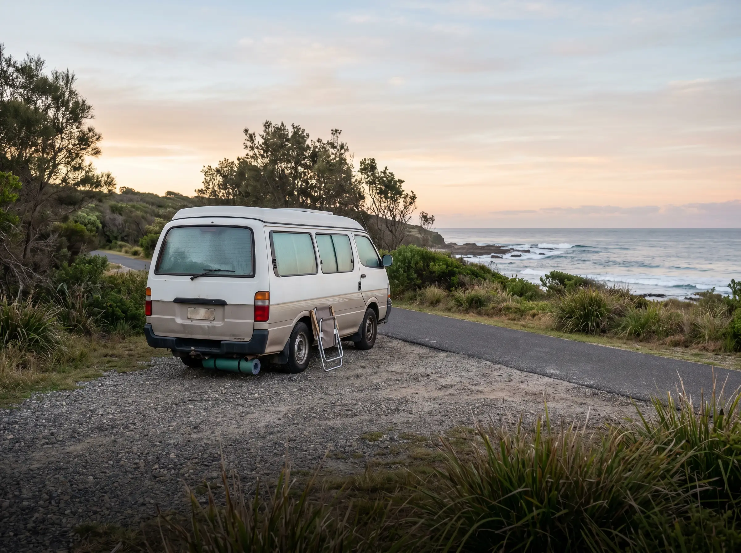
Sparse coverage
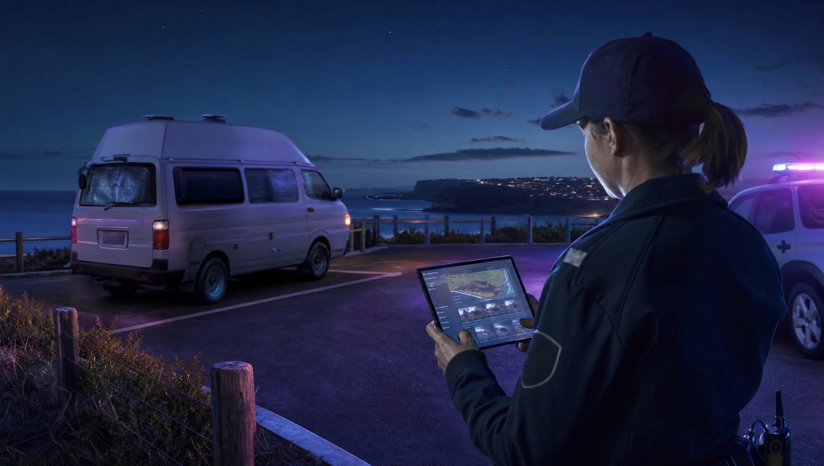
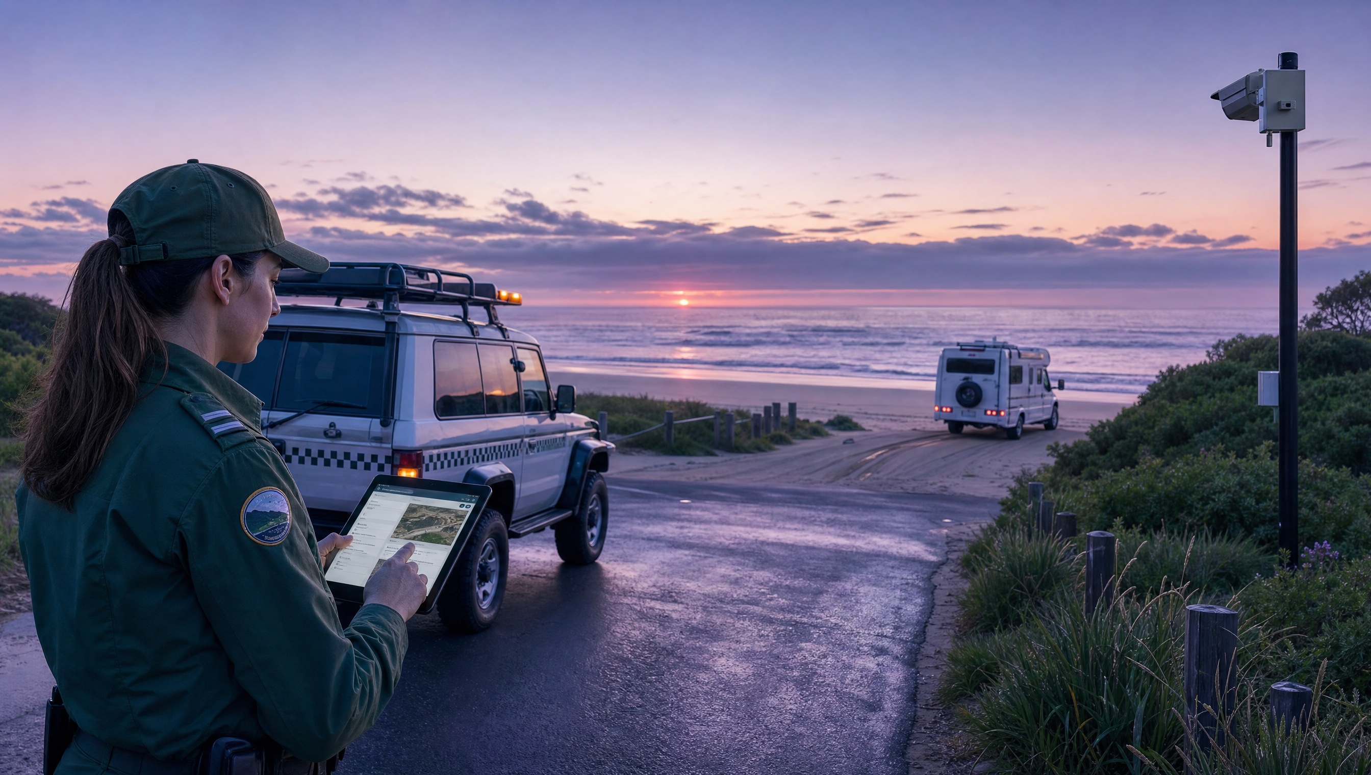
Beaches, reserves, fire-breaks and roadside locations are often spread across large areas. Manual patrols can miss overnight activity or arrive after vehicles have moved on.
Aero Ranger helps ranger and compliance teams detect repeat overnight stays, measure dwell time, capture evidence, open cases and manage follow-up across beaches, dunes, reserves, fire-breaks and roadside areas.
Illegal camping enforcement often crosses ranger patrols, parking rules, local laws, environment protection, public safety and customer service. The workflow needs to hold that context together.
Beaches, reserves, fire-breaks and roadside locations are often spread across large areas. Manual patrols can miss overnight activity or arrive after vehicles have moved on.
A single observation rarely establishes dwell time on its own. Teams need timestamped sightings, GPS context, zone rules and a clear history that can be reviewed later.
Unauthorised camping can affect dunes, wetlands, reserves, access tracks and public safety. The operating model needs early detection without adding unnecessary patrol kilometres.
Warnings, move-on notices, infringements, referrals and reviews are hard to manage when the process lives in inboxes, spreadsheets or officer memory.
The useful question is not which feature exists. It is whether the team can see the place, rule, evidence, exception, next action and review history before making a decision.
Configure camping categories, restricted zones, vehicle types, look-back windows and dwell thresholds so long stays can create review alerts under the organisation's rules.
Alert categories, rule builder, in-vehicle delivery and dashboard review.Every patrol pass can add a timestamped, GPS-located vehicle record, helping teams see repeat activity across remote car parks, foreshore areas and reserves.
Plate reads, zone context, vehicle replay and exportable histories.Open matters into a repeatable process for inspection, monitoring, move-on action, infringement review, closure, appeal or external referral.
Case stages, task templates, inspection outcomes and status automation.Review evidence in context, preserve originals and prepare export copies with appropriate redaction for internal review or enforcement partners.
Evidence packages, audit trail, document templates and export controls.Link notices, penalties, statutory timing and legal references to the council's configured local-law records rather than retyping them case by case.
Local laws, enforcement templates, document builder and timing fields.Use zone and vehicle reporting to find repeat locations, seasonal patterns, officer workload and areas where signage or patrol strategy may need attention.
Intel dashboards, zone analysis, vehicle replay and exports.Public land patrols need both field context and system context: where the vehicle was, when it appeared, what rule applies and what happened next.
Map the foreshore, reserve, fire-break or car park so plate sightings are measured against the right rule.
Announce high-priority alerts in CarLink or keep investigation-only matters in the dashboard.
Keep evidence, inspections, notes, documents and decisions attached to the same case.
A restricted-area case keeps the overnight sighting, dwell review, inspection notes, warning and recheck in one record.
Campervan observed after permitted hours
22:46 · Coastal reserve car park
Camping or occupying local government property without approval
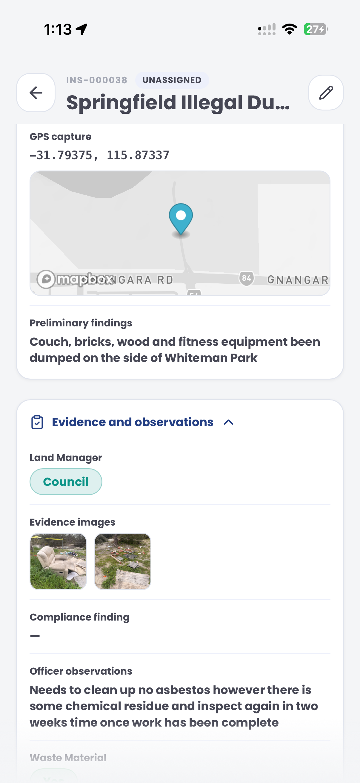
Aero Ranger keeps the issue photos, place context, rule context and follow-up state together so the case can be checked later without rebuilding the record.
The issue photo stays on CAMP-20418 with the case note and current case status.
Site, street, reserve, bay, kerbside or zone context stays attached so reviewers can see where the issue occurred.
The relevant signage, permit condition, local-law category or operating rule is recorded beside the issue evidence.
Later photos, reinspection notes, notice evidence and closure decisions remain in the same case trail.
Illegal camping work usually starts with a place-based rule, not a product feature. A council needs to know which reserves, beaches, foreshore car parks or roadside areas are restricted, what time window applies and whether a vehicle appears to have stayed overnight or returned repeatedly.
Confirm restricted and permitted locations, seasonal rules, signage, self-contained or permit exceptions, and the handover process between after-hours patrols and daytime review staff.
Capture the vehicle, time, place, photos and officer notes in the field. If the matter depends on dwell time, keep each sighting attached to the same vehicle and location history.
Decide whether the outcome is education, a move-on request, a warning, an infringement, monitoring or referral, then report repeat sites and seasonal pressure.
Rego, vehicle type, make, colour, first sighting, repeat sightings, overnight duration and any visible camping indicators.
GPS pin, reserve or foreshore zone, seasonal rule, signage notes, permit category and any restricted-area boundary.
ANPR reads, photos, officer notes, timestamps, inspection outcomes and copies of any warning or notice issued.
Reinspection due date, notice expiry, repeat-stay watch period and escalation timing for unresolved matters.
Inspect, move-on, warn, issue notice, refer, monitor repeat activity and report hotspots back to managers.
Teams can start with a targeted pilot, tune thresholds and then extend the same model across related vehicle-based compliance areas.
Create camping zones, reserve boundaries, seasonal restrictions, permit rules and vehicle-type settings.
Use ranger vehicles, fixed cameras or camera integrations to record plate reads with time, date and GPS context.
Apply camping thresholds and look-back windows to identify vehicles that appear to remain overnight or return repeatedly.
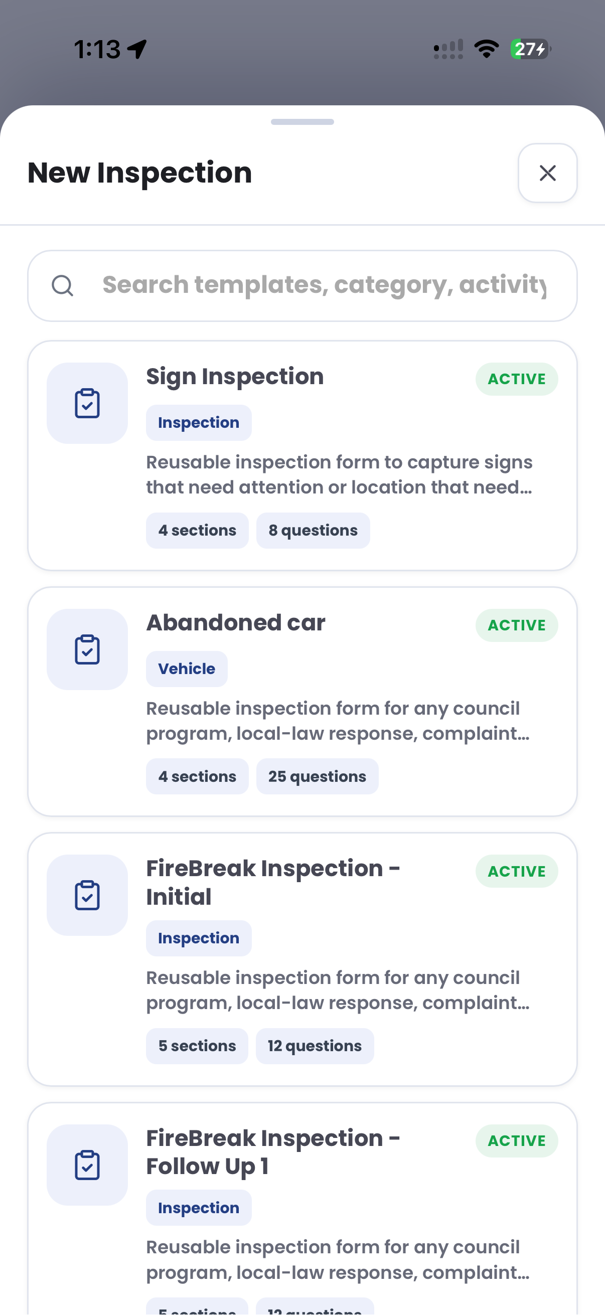
Attach evidence, run inspections, branch on outcomes and assign tasks for move-on action, warning, infringement or closure.
Use zone analysis, vehicle replay and exports to plan patrol routes, review hotspots and brief managers.
Once vehicle sightings, dwell logic, evidence and case flows are working, other compliance categories can use the same platform pattern.
Use longer dwell thresholds to find vehicles that remain in one place for days rather than hours.
Flag vehicles in closed reserves, restricted fire-breaks or seasonal no-access areas.
Pair vehicle sightings with incident records, inspections and evidence review near known dumping locations.
Cross-reference vehicle access against permits, exemptions or authorised contractor records.
Use these CORE guides when setting up the zones, cases, permits, evidence templates, notices and reports that support this operating model.
Set up manual and rule-based plate alerts, including long-dwell camping rules.
Open guide ->Build repeatable compliance pathways for inspection, monitoring, notices and closure.
Open guide ->Manage evidence, owners, statuses, tasks and audit history across each matter.
Open guide ->Prepare notices and packs that render from case data and templates.
Open guide ->Maintain the legal references, penalty values and statutory timing behind enforcement workflows.
Open guide ->Review vehicle movement and coverage patterns when planning patrol strategy.
Open guide ->Share the short brochure with stakeholders, then use the procurement guide to frame requirements, governance, rollout and evaluation.
A client-ready summary of the operating problem, the workflow, and how Aero Ranger helps council teams manage it.
Open brochure - PDFA practical buying guide for requirements, evidence, local-law setup, integrations, governance and pilot planning.
Open guide - PDFBring a real patrol scenario and we will walk from first plate sighting to dwell alert, case review, notice generation and reporting.